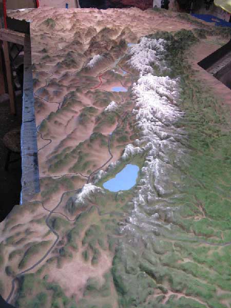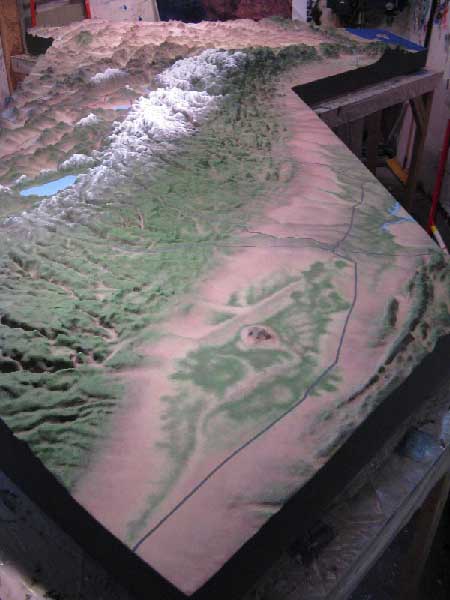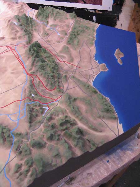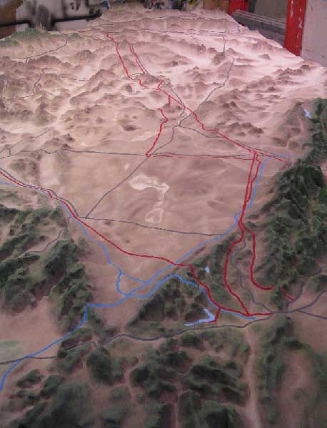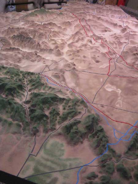
"Located on DWP land one mile south of Lone Pine, the Interagency Visitor Center is a cooperative venture of the DWP, U.S. Forest Service, Bureau of Land Management, National Park Service, Department of Fish and Game, Caltrans, Department of Forestry, and Inyo and Mono Counties. The center features exhibits, maps, brochures, books about the Eastern Sierra and knowledgeable staff members, all to help visitors learn about the area."
This project was probably the largest piece of work to ever take place in my studio.. It was yet another job subbed through Color-Ad, Inc. and took more than a year to get together and a solid four months to complete my part of the job.
It's hard to tell from the pics, (it BARELY fit in my studio) but the piece is a 3-D topo map of about two-thirds of the state of California (cut down the middle of the San Jaquin valley) with Los Angeles on one side and Las Vegas on the other.
The purpose of the map was to show the various water and power sources for the city of L.A. with an extremely exaggerated verical scale. The overall actual size of the piece was approximately 16 feet long x 10 feet wide x 8 inches high. We made it break into three pieces for transport.
Color-Ad, Inc. roughed out the topo in three sections using a CNC router on three inch thick sign foam (stacked where necessary) with 3/4 poplar sides. I then smoothed out the rough edges and filled in voids. I made the seams "seamless" and topcoated the entire piece with a tough urethane called Styro-spray. I then primed and painted the surface using vinyl-acrylics based on an approved satelite image. I then hand-painted all the systems (roads, powerlines, aqueducts, rivers, etc).
This was just my part of the gig. Color-Ad, Inc, then added all kinds of labels and fiber optics and installed it in the Interagency Visitor Center in Lone Pine, California.
